
Fairborn ZIP Code Directory Coverage
Postal research for Fairborn begins with what is directly verified, not with a broad radius guess. The official source set confirms 45324 as the standard street-mailing ZIP associated with Fairborn. It also identifies 45433 at Wright-Patterson Air Force Base with a Dayton postal label. That nearby federal postal geography should not be applied to a Fairborn street unless the complete delivery address is checked. ZIPs organize mail delivery. Parcels, city limits, tax districts, and legal land descriptions use other systems.
| ZIP | Areas Covered | Post Office | Notes |
|---|---|---|---|
| 45324 | Verified Fairborn postal service area and standard Fairborn street-mailing context | USPS Fairborn Post Office | Postal context only. It does not prove a city-limit location, parcel status, or a person’s residence. |
| 45433 | Nearby Wright-Patterson Air Force Base postal facilities, displayed by USPS as Dayton | USPS WP AFB units | Do not call this a Fairborn residential ZIP without exact-address USPS verification. |
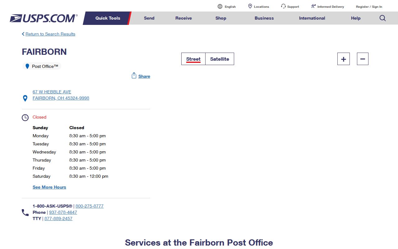
The USPS Fairborn Post Office listing supplies the directly verified 45324 reference point.
Use the postal result as one address component, then confirm the physical parcel through county records when the result affects a property or boundary question.
Note: No official city-boundary-to-ZIP crosswalk was found, so an edge address needs an exact postal result and a separate local-map check.
45324 in Fairborn Postal Records
The 45324 result is a practical starting point for a Fairborn ZIP code directory search, not a map of the city. The USPS listing places the Fairborn Post Office at 67 W. Hebble Ave. and identifies 45324 in its postal address. A post office, including its retail and post-office-box functions, does not define where city government, a parcel, or a school or voting district begins. Delivery zones can cross governmental lines, and the name shown in a mailing address can be used outside a municipal boundary.
For an exact address, preserve the street number, direction, street name, suffix, unit when present, city label, state, and ZIP. Small differences can matter. This careful transcription helps when the same address is later entered in the Auditor form or compared with a plat. It also avoids treating the address on a letter as the land identity used in a deed.
The Census QuickFacts record for Fairborn provides city-level context, but its population and area figures do not establish the postal coverage of any individual ZIP.
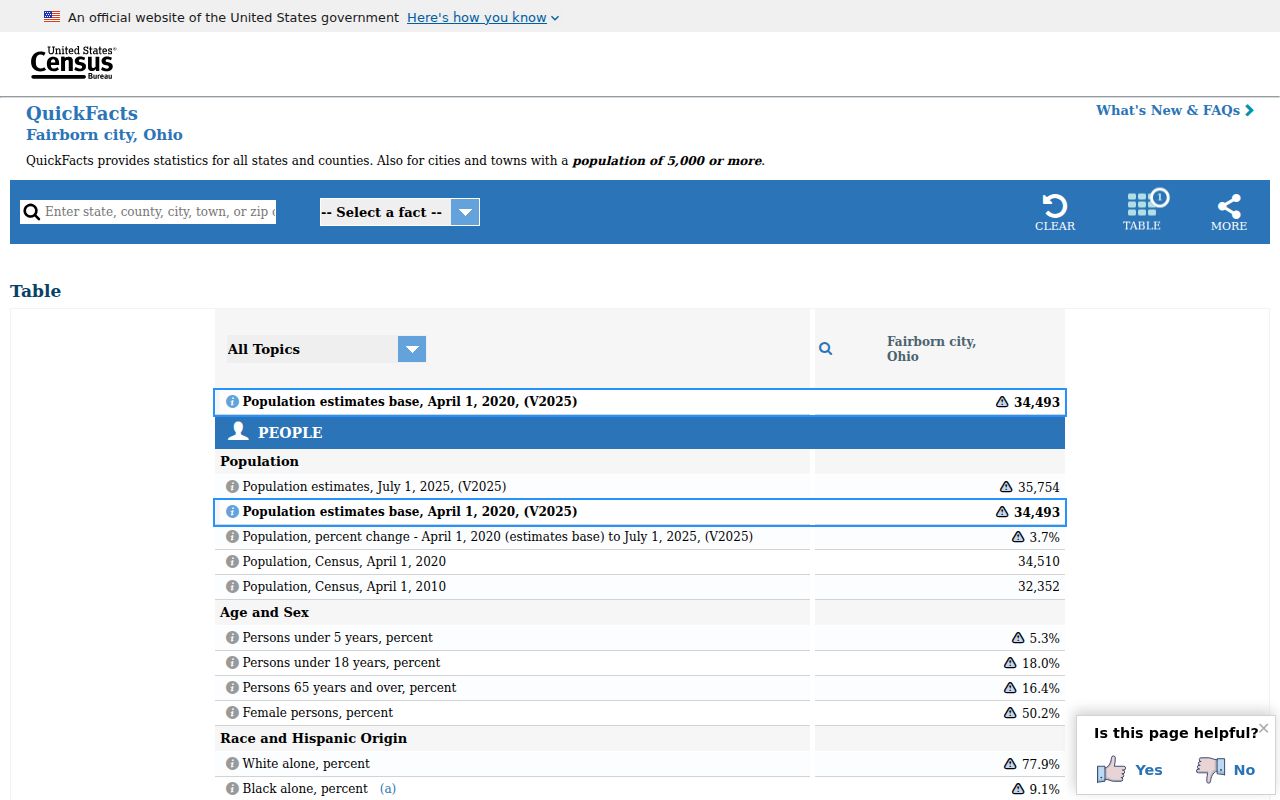
City statistics describe Fairborn as a whole and should stay separate from delivery geography or conclusions about a particular address.
Fairborn ZIP Code Search Fields
The Greene County Auditor Location search is an address-component form, not a verified ZIP-wide property browser. Its City, State ZipCode control can narrow an individual address search. The captured form does not show that entering 45324 alone produces a list of every parcel. Begin with the street elements that are known, and add the locality or ZIP component only when it helps distinguish a result.
| Address field | Form role |
|---|---|
| Tax Year | Selects the assessment view. |
| Street Number | Identifies the numeric address component. |
| Pre-Direction and Post-Direction | Separates direction words from the street name. |
| Street and Street Suffix | Separates the road name from terms such as a suffix. |
| Unit Designator and Unit | Allows a unit component when the address has one. |
| City, State ZipCode | Dropdown/locality component, not proof that a ZIP matches city limits. |
| Included Property Types | Real Estate or Manufactured Home selection. |
The map route is different. Greene County GIMS provides parcel and geographic context, including links to deed, survey, and subdivision-plat sources described by the county. Its captured materials do not verify a ZIP filter, so a ZIP label should not be presented as a GIMS search mode.
Search a Fairborn ZIP Code in Steps
A ZIP can narrow the first pass, but official Fairborn records become dependable only after the full address reaches a parcel or a named record. The sequence below keeps postal delivery facts separate from property and personal facts. It also gives a clear fallback when a portal cannot answer a ZIP-wide question.
- Verify the complete delivery address with the USPS Fairborn postal reference rather than assuming that a nearby ZIP covers the street.
- Enter the address in the Auditor Location form one component at a time, including direction, suffix, unit, and locality when known.
- Open the resulting parcel in GIMS for lot, map, survey, deed, and plat context. Treat the map as geographic context, not a legal survey.
- Keep the parcel ID and legal description if recorded documents or historic maps are needed. Use the Recorder’s party and legal-description route rather than expecting a ZIP-only deed list.
- If the matter is historical, ask the Recorder or Archives about the older index route and search predecessor locality names where the date requires it.
Once a ZIP has narrowed the address, the Fairborn street directory has the fuller address-to-parcel workflow. The statewide voter lookup is name-and-county based, and it should not be described as a ZIP browse.
Fairborn ZIP Codes and Parcel Identity
Three address terms serve different purposes. A situs or property address is the physical street-location label used in the Auditor form and map context. A mailing address is where owner or tax correspondence may go, so it can differ from the physical parcel. A legal description is the land identity carried in deeds, plats, and tax mapping. It may use a lot and subdivision, a range-township-section description, or a Virginia Military Survey reference. That legal string is the durable key when a street label or postal designation changes.
- ZIP and ZIP+4
- A ZIP supports postal delivery, while ZIP+4 adds a more specific delivery segment. Neither one identifies a parcel.
- PO-box ZIP
- A ZIP used for post-office-box delivery is a postal service designation, not evidence of a residential street area.
- Unique ZIP
- A ZIP assigned to a single institution or facility can be nearby without covering ordinary Fairborn street addresses.
- Carrier route
- A delivery-route grouping helps mail delivery. It is not a city-limit, ownership, or resident-record boundary.
Recorder research should follow the legal description and the parties named in the document. The Greene County Recorder Document Search reaches its online index from 1984 forward, while older material requires the Recorder counter or historical access routes.
Fairborn ZIP Codes Near WPAFB
Fairborn maps place the city beside Bath Township, Wright-Patterson Air Force Base, Wright State University, parks, and major roads. These are separate mapped features. The nearby 45433 federal/base postal facility is displayed by USPS under Dayton and cannot be turned into a general Fairborn ZIP claim. The same caution applies to an address whose city label, parcel jurisdiction, and postal label point to different systems.
The Fairborn and Bath Township street map is useful for general location context. The city says the map is not a legal description or property-boundary determination. For a disputed edge, check the delivery address, then the parcel and legal description, before relying on a line shown on a general map.
Boundary check. A Fairborn postal label can cross a different geographic system. Verify an exact address through USPS, then compare the Auditor parcel and city map before making a city-limit claim.
Fairborn ZIP Code History and Names
Older address research needs one more local check. Original Osborn stood in the Huffman Dam flood basin and moved after the 1913 flood. In 1950, Osborn and Fairfield merged as Fairborn. A pre-1950 directory, map, newspaper, or deed may therefore use Osborn or Fairfield even where a modern reader expects Fairborn. The change is more than a simple name swap because the earlier Osborn location had a different geographic relationship.
The Greene County Archives map inventory preserves an Osborn/Fairfield Bath Township map from 1922, Fairfield maps from 1925, 1934, and 1948, Osborn maps from 1934, 1942, and 1948, and Fairborn maps beginning in 1950. Use a dated map and the legal description before treating an older location as the same modern parcel. The Greene County Archives catalog is the access route for historical collections and reading-room requests.
Fairborn ZIP Code Limits
A verified ZIP result can provide postal context and help organize a careful address search. It cannot create a complete resident list for 45324, prove that a tax mailing address is a current residence, or identify a city boundary from mail delivery alone. The Auditor record can connect an address to an owner and parcel, but it is not a household roster. GIMS can show parcel geography, but its public map display is not a final legal-boundary determination.
For a city-held address record, Fairborn accepts a specific request for existing building, electrical, heating, planning, zoning, contractor, abandoned-property, or fire-inspection records. The county building office does not cover Fairborn City. A bounded request under the Ohio Public Records Act, R.C. 149.43 should identify the address, record category, and period sought. Protected information remains protected, and a records request cannot be used to reconstruct a confidential address.
The Ohio voter statutes also distinguish public precinct-list access from private data. The self-search is name and county based, not a ZIP directory, and excluded voter details must be respected.
The Ohio voter law reference documents that statutory boundary.
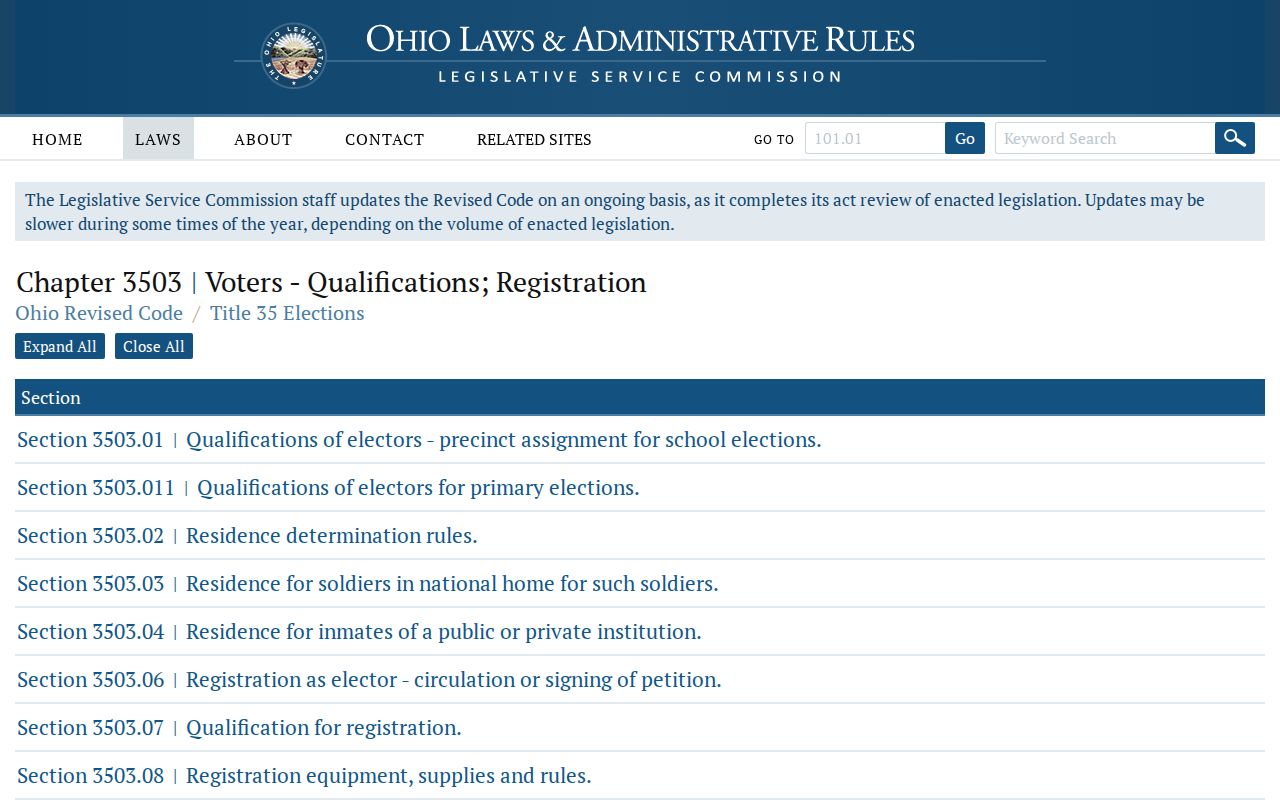
That legal boundary is why a postal search should end with the responsible record custodian instead of a claim about everyone associated with a ZIP.
The Ohio Public Records Act text describes the state request standard and redaction framework.
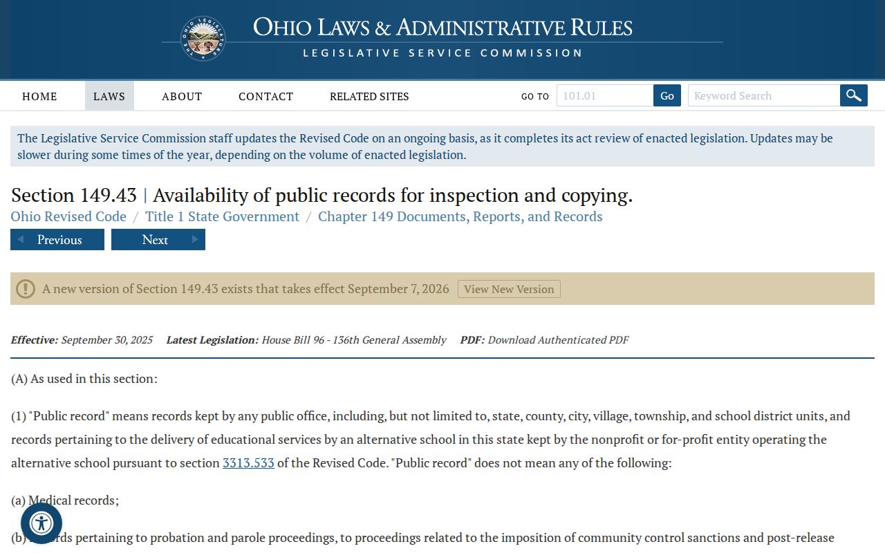
A specific request to the proper custodian is the fallback when an existing local record is not available through the public address tools.