
Trace a Fairborn Address Result
For a Fairborn address search, begin by normalizing the address rather than trying to assemble a list of people along a road. Greene County's address form separates the number, direction, street, suffix, unit, locality, and property type. That separation matters. A missing directional prefix, a different suffix, or an extra unit can prevent a parcel match. The resulting parcel record is the starting point for documented property facts, not a list of everyone connected with the address.
- Enter the street name in the Greene County Auditor location search. For a longer Fairborn street, begin with the name alone and add the number, direction, suffix, or unit only as needed.
- Record the parcel ID, listed owner, property address, legal description, and any transfer clue shown with the parcel. Keep the legal description with the street address.
- Open the parcel in GIMS to compare its map context, lot, nearby parcel outlines, plats, surveys, and deed references.
- Use the Recorder's document search for the owner or parties named in the recent transfer, then follow the legal description and grantor-grantee trail.
- For a former Fairborn address listing, ask the Greene County Room for city-directory or criss-cross information and compare the printed address with period maps.
Ohio My Voter Information can verify registration and precinct information for a supplied name and county. Its secondary street narrowing control is not a browse of a whole Fairborn street. Where a lawful, existing precinct record is needed, the Board route is more accurate than treating the self-search as a street roster.
Fairborn Address Search Fields
The Greene County Auditor location search is the practical first stop for a Fairborn address. Its components permit a broad street-name search and a more exact parcel search. Use the selected tax year only when comparing assessment information for the same parcel. The locality field helps narrow the form, but it does not decide whether a parcel lies inside the municipal boundary.
| Auditor field | Input type | How it helps a Fairborn address search |
|---|---|---|
| Tax Year | Dropdown | Select the relevant assessment year before comparing parcel information. |
| Street Number and Street | Text | Use the number for one parcel, or start with the street name for a broader by-street check. |
| Pre-Direction, Street Suffix, Post-Direction | Dropdown controls | Match the database convention when a Fairborn street has a directional or suffix. |
| Unit Designator and Unit | Dropdown and text | Add only when the property record uses a unit reference. |
| City, State ZipCode and property types | Dropdown and checkboxes | Choose the locality component and include Real Estate or Manufactured Home as appropriate. |
Every field is optional in the bare form, and the page offers Search and Clear buttons. A no-result should prompt a second pass with fewer components or the other property type, not a conclusion about a Fairborn address. The county did not publish a street-wide export or a complete household result for this form.
Note: The Auditor maintains more than 73,000 parcels countywide, so a Fairborn search should retain the parcel identifier before moving between offices.
Fairborn by Address: Parcel Labels
Three address identities can appear in a Fairborn address trail. The situs address is the physical parcel's street label. A mailing address is a correspondence destination associated with an owner or tax record. The legal description is the land identity used in deeds, plats, and tax maps. A parcel card can hold all three ideas without making them interchangeable. In particular, a mailing destination does not establish that the owner lives at the Fairborn property.
- Parcel ID
- The Auditor and tax-map identifier for a property. It helps distinguish similar street numbers and parcels that were split or combined.
- Situs address
- The physical street-location label used by the Auditor address form and map context.
- Plat
- A recorded subdivision or land drawing that can connect lot, block, dimensions, and an earlier street framework.
- Criss-cross directory
- A reverse directory arranged from an address to a listed occupant for a particular edition. It is a historical clue, not a complete roster.
Greene County land descriptions may use lot numbers, section-township-range language, or a Virginia Military Survey number. East of the Little Miami River, a Virginia Military Survey reference may occur; west of the river, range, township, and section language may appear. The legal string is the durable key when a Fairborn street name, numbering pattern, or locality label has shifted.
Map a Fairborn Street Segment in GIMS
After the Auditor locates the parcel, Greene County GIMS supplies the geographic step in a Fairborn address search. County sources direct users there for deeds, surveys, and subdivision plats on file. The historic-property material also describes property maps, road maps, tax maps, dimensions, lot numbers, aerial context, building indicators, and street or section borders. Those are useful ways to test whether records refer to the same place along a street.
The official GIMS view is the source for the parcel-map image below.

Use the displayed parcel context to move from a street label to a lot or legal-description question, then confirm the boundary through the Recorder, tax map, or survey route.
Fairborn's city street map adds city, Bath Township, Wright-Patterson Air Force Base, Wright State University, road, and grid context. It is a general location map, not a legal description or property-boundary determination. The research did not verify exact interactive GIMS button or layer names, so a reliable Fairborn street search should map-browse the parcel rather than assume a named buffer or street-list control exists.
Fairborn Street Directory Records
Each Fairborn street record has a narrower role. The address search reaches the parcel framework, GIMS adds map and plat context, and recorded documents connect parties to land history. The table separates what each route can establish from what it cannot. That distinction keeps a by-address search grounded in the county's actual records.
| Fairborn address source | County route | Useful result | Limit |
|---|---|---|---|
| Auditor location search | Component-address portal | Parcel, owner, legal description, property and transfer context | Not an all-occupant or historical street roster |
| GIMS parcel map | Public viewer or GIS Office | Parcel geography, plats, surveys, deed and map context | Web display alone is not a legal survey |
| Recorder document search | 1984-forward online index | Recorded-document chronology and party leads | No complete historic online street-address trail |
| Recorder and Archives indexes | Counter, reading room, or remote request | Historical direct and reverse deed-index trail | Requires parties and legal description, not a simple street-number search |
| Fairborn city record request | City custodian or responsible department | Existing permit, inspection, planning, zoning, or code records for a bounded period | No verified open city permit search |
| Criss-cross information | Greene County Room | Historic address-to-listed-occupant lead | Not current residence or complete household proof |
The county address-to-parcel material explains the handoff to property records and also notes that the county Building Regulation Department does not cover Fairborn City. A Fairborn address question about a city permit or inspection therefore belongs in a specifically described city public-record request, not in an assumed county permit search.
The county address-to-parcel resource is shown in this Fairborn address-record image.
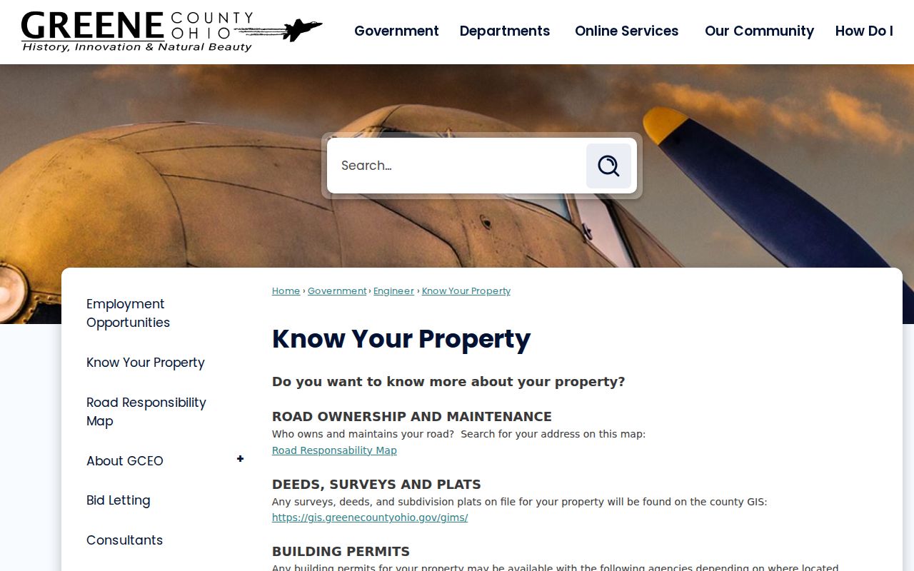
It reinforces the sensible order: identify the physical parcel first, then ask the office that keeps the particular map, deed, or city record.
Deeds Along a Fairborn Street
The Greene County Recorder document search indexes recorded documents online from 1984 forward. That cutoff belongs in every Fairborn address trail. The Recorder maintains deeds from 1803 to the present, and the Records Center & Archives holds transcribed deeds from 1804 through 1864 along with historical direct and reverse indexes. A blank web result before the online period is therefore not a dead end.
Start with the most recent document tied to the parcel's owner or legal description. Read its grantor, the seller, and grantee, the buyer, then preserve the document number, book-page reference, date, and prior-record reference exactly as shown. To move backward, find the current seller as a prior grantee. To move forward, find an owner as grantor. Carry the legal description to the Recorder counter or Archives when the online index stops.
The Auditor's real-estate and tax information describes the parcel facts that anchor this transfer work.
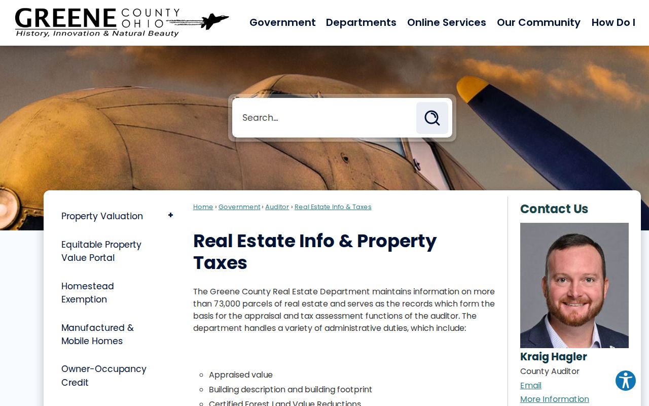
The property record supplies ownership, legal-description, value, building-description, and transfer context, while the deed provides the recorded land-document trail.
Fairborn Streets Before the Merger
Fairborn address history has a local continuity trap. Original Osborn was moved after the 1913 flood and the Huffman Dam work, then joined Fairfield in 1950 to form Fairborn. An older map, directory, deed description, or newspaper item may therefore be filed as Osborn, Fairfield, or Osborn-Fairfield even when the area is now associated with Fairborn. A modern Fairborn street label alone cannot prove that the old entry describes the same land.
The Archives map inventory offers dated checks: an Osborn/Fairfield Bath Township map from 1922, Fairfield maps from 1925, 1934, and 1948, Osborn maps from 1934, 1942, and 1948, then Fairborn maps from 1950, 1955, and 1959. Compare the old map, plat, lot, and legal description before treating a historical address as one continuous street record. This documented relocation is a geography problem, not evidence that county records were destroyed.
Note: A 1950 Fairborn result may miss a pre-merger listing filed under Fairfield or Osborn, so period place names should be searched deliberately.
Use the Fairborn Street Map Carefully
The Fairborn city and Bath Township street map was prepared in September 2025 by the Fairborn Engineering Division with Greene County GIS. It gives a useful city and county frame for roads, grid cells, Bath Township, the base, the university, and major routes. It can help compare a street label with a parcel's surrounding geography before the records trail moves to the legal-description and plat level.
The map also states that it is a general map only, not a legal description or a property-boundary determination. For a disputed line or a location that crosses a city, township, or postal context, use the Auditor parcel, GIMS, Recorder, tax-map, and survey route. The Engineering contact listed for city-map errors is (937) 754-3030. That careful handoff keeps a Fairborn map useful without giving it more legal weight than the city assigns.
Fairborn by Street: Voters and Directories
Ohio My Voter Information requires first name, last name, and county, with a street-name control used only to narrow a search. It verifies registration and identifies precinct or polling information. It is not a public Fairborn street search of every address. Ohio law also protects phone, email, Social Security, driver or state-ID, confidential voter, and protected-address information. Ballot choices are not part of the public record.
For historical address evidence, the Greene County Room identifies City Directory and Criss-Cross Information as a reference-service category. Search Fairborn for post-1950 material and Fairfield or Osborn for earlier material. A printed entry may contain initials or abbreviations, so record the edition year, street heading, number, printed name, and the volume's key before interpreting it. The historical collections themselves are described in the Fairborn city directory collections.
Fairborn Street Search Privacy Lines
A Fairborn street search can connect public property, map, recorded-document, and limited election records. It cannot establish every person at an address. A parcel owner is not automatically a resident, a mailing address can differ from the parcel, and a historical directory entry is only a listed clue for its edition. Utilities and delivery accounts are not public street rosters, and protected voter or Safe at Home addresses must not be reconstructed through other record types.
When an existing record is needed but no online index exists, Ohio's Public Records Act, R.C. 149.43, supports a focused request for the existing category, date range, and address or parcel identifier. Inspection is prompt and ordinary copy charges are limited to actual copying or delivery costs, but a custodian need not create a new street list. Protected, sealed, or confidential material remains outside an ordinary request.